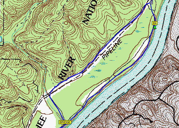
 DRG stands for a digital raster graphic. It is simply a digital copy of a USGS topographical map. Th is map shows an river winding through some hilles. The minimum resolution on these types of maps is around 250 dots per inch.
Subscribe to:
Post Comments (Atom)

No comments:
Post a Comment