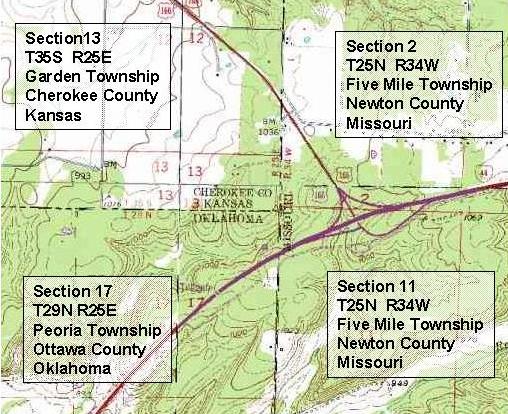
 PLSS stands for the Public Land Survey System and is a method of dividing lands through rectangular grids. PLSS maps are usually divided into 6 mile square townships. These townships can be sub-divided into 36 one mile squares.
Subscribe to:
Post Comments (Atom)

No comments:
Post a Comment